others
Nimbostratus Clouds: The Carriers of Endless Rain

Introduction
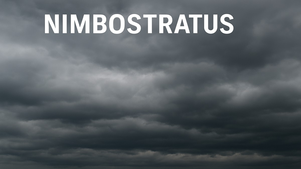
Nimbostratus Clouds. Have you ever looked up at the sky and noticed a thick, dark blanket of clouds that seem to stretch endlessly, bringing hours of steady rain or snow? Those are Nimbostratus clouds, the unsung heroes (or villains, depending on your weekend plans) of the weather world. They might not produce the dramatic thunderstorms of cumulonimbus clouds, but they’re responsible for the kind of rain that fills rivers, nourishes crops, and sometimes ruins outdoor events.
Definition and Meaning
The name “Nimbostratus” comes from two Latin words — “nimbus” meaning rain and “stratus” meaning layer. Essentially, these are rain-layer clouds. They belong to the low-to-middle altitude group and are known for producing continuous, steady precipitation rather than short bursts or heavy storms.
Appearance and Characteristics
Nimbostratus clouds appear as thick, uniform gray layers that can cover the entire sky, blocking sunlight and creating a gloomy atmosphere. They often stretch for hundreds of miles and have no distinct shape or edges. These clouds are typically found between 2,000 and 10,000 feet (600–3,000 meters) but can extend even higher.
Their dense composition makes them dark and opaque, and they often merge seamlessly with other cloud types as they evolve.
Formation Process
Nimbostratus clouds form when warm, moist air gradually rises over a large area of cooler air. This can occur along warm fronts or occluded fronts in a weather system. As the air lifts, it cools and condenses into water droplets, forming thick layers of clouds. When the cloud becomes saturated, continuous precipitation begins to fall.
Think of it as nature’s slow cooker — not explosive or sudden, but steady and consistent.
Weather Associated with Nimbostratus Clouds
If you’re seeing Nimbostratus clouds, expect long-lasting rain or snow. Unlike the towering cumulonimbus clouds that cause thunderstorms, Nimbostratus clouds bring gentle to moderate rainfall that can last for hours or even days. These clouds rarely produce lightning, thunder, or hail.
In winter, they’re often responsible for widespread snowfall, creating perfect conditions for a white Christmas or a snow day.
Difference Between Nimbostratus and Other Clouds
Nimbostratus vs. Cumulonimbus
- Nimbostratus produces steady precipitation without thunder or lightning.
- Cumulonimbus forms towering structures that cause thunderstorms, lightning, and sometimes hail.
Nimbostratus vs. Stratus and Altostratus
- Stratus clouds are lower and thinner, often creating fog-like drizzles.
- Altostratus clouds sit higher and may precede Nimbostratus as the weather system develops.
In simple terms, Altostratus can evolve into Nimbostratus when rain starts to fall.
Temperature and Altitude Factors
Temperature plays a vital role in Nimbostratus formation. In warmer regions, they produce rain, while in colder conditions, the same clouds yield snow or sleet. These clouds often form at mid-level altitudes, but their bases can descend closer to the ground during prolonged precipitation.
Role in the Water Cycle
Nimbostratus clouds are a major player in the Earth’s water cycle. They are responsible for significant amounts of rainfall that replenish lakes, rivers, and groundwater. Without them, many ecosystems would struggle to survive, and droughts would be more common.
Their consistent precipitation helps maintain climate balance by redistributing moisture across regions.
Nimbostratus Clouds in Different Seasons
In summer, Nimbostratus clouds can bring days of cooling rain after hot spells, offering relief to plants and people alike.
In winter, they deliver steady snowfalls that build up glaciers and snowpacks essential for water storage.
During monsoon seasons, they sustain agriculture and refill reservoirs, showing their importance beyond the gray skies they bring.
Nimbostratus Clouds and Aviation
For pilots, Nimbostratus clouds are more than just gloomy scenery. They often signal poor visibility, icing risks, and turbulence. While these clouds aren’t stormy, their widespread nature can make flying challenging, especially for small aircraft. Pilots use radar and satellite data to navigate safely around dense cloud formations.
Conclusion
While Nimbostratus clouds might not be the flashiest formations in the sky, their importance can’t be overstated. They’re the workhorses of the atmosphere, bringing life-sustaining rain and snow that keep ecosystems thriving. So, the next time the sky turns gray and steady rain begins to fall, take a moment to appreciate these quiet, dependable clouds that nourish our planet.
FAQs
1. What do Nimbostratus clouds indicate?
They signal steady, long-lasting precipitation like rain or snow, often covering the entire sky.
2. Do Nimbostratus clouds cause thunderstorms?
No, they produce continuous precipitation without thunder, lightning, or hail.
3. At what height do Nimbostratus clouds form?
They typically form between 2,000 to 10,000 feet, sometimes extending higher.
4. Can Nimbostratus clouds produce snow?
Yes, in cold temperatures, they often bring widespread snowfall.
5. How can you recognize a Nimbostratus cloud?
Look for a thick, gray, featureless sky that blocks sunlight and produces steady rain or snow.

 entertainment8 months ago
PYT Telegram: A Complete Guide to Understanding, Using, and Maximizing It

 entertainment9 months ago
OnionFlix: Everything You Need to Know About This Streaming Website

 others7 months ago
Nook vs Kindle: Which E-Reader Is Right for You?

 gaming9 months ago
Melisandre: The Enigmatic Priestess of Game of Thrones


